Subsea Positioning
As a recognized global leader in its field, iXblue provides comprehensive solutions for efficient, accurate and reliable subsea positioning and navigation. From Inertial Navigation Systems and Attitude Heading and Reference Systems, to USBL and LBL solutions as well as global supervision software, iXblue will be your partner of choice for state-of- the-art subsea positioning operations in all environments and all operational conditions.

Canopus LBL transponder
Providing highly performant subsea positioning and monitoring capabilities down to 6,000m, the Canopus transponder offers advanced LBL/sparse LBL capabilities.
Inertial Navigation Solutions for ROV
Equipping over 80% of the subsea vehicles used in the Energy and Geoscience industries, iXblue FOG (Fiber-Optic Gyroscope)-based Inertial Navigation Systems (INS) and Attitude Heading and Reference Systems (AHRS) are accurate and maintenance-free navigation systems that provide unmatched performance and reliability for highly accurate ROV navigation.
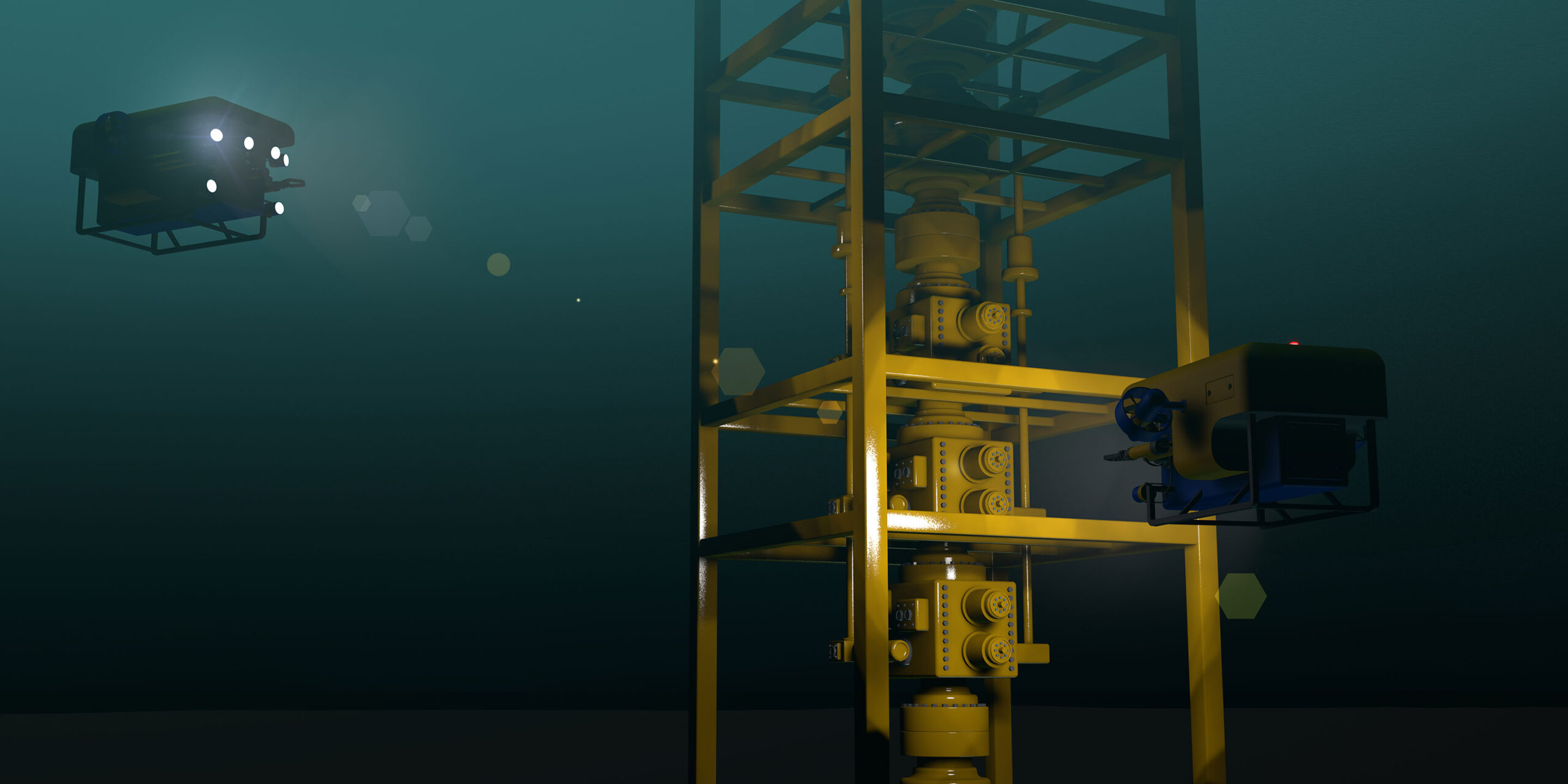
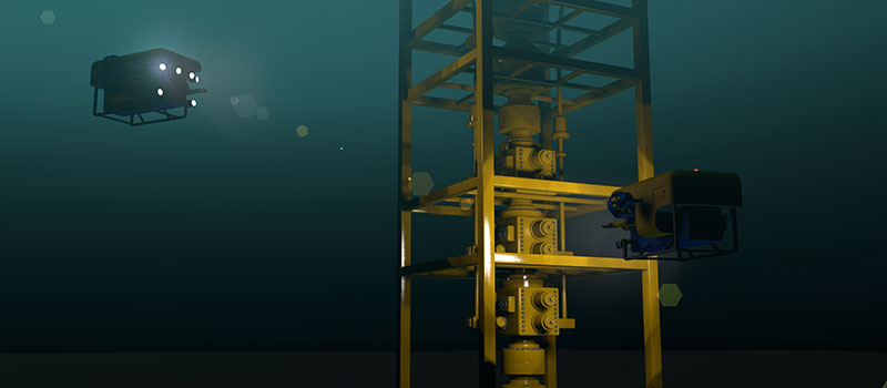
Ramses LBL transceiver
Providing highly performant subsea positioning and monitoring capabilities down to 6,000m, the Ramses transceiver offers advanced LBL/sparse LBL capabilities.
Gaps Series USBL systems
The Gaps Series offers unrivaled horizontal tracking capabilities and unmatched accuracy from extremely shallow water depths to 4,000 meters. Providing accuracy and reliability, they are perfectly suited to work-class ROV surveys, AUV missions, diver tracking, or critical dynamic positioning operations.
Inertial Navigation for Surface Operations
iXblue offers a complete range of Fiber-Optic Gyroscope (FOG)-based Attitude and Heading Reference Systems (AHRS) and Inertial Navigation Systems (INS) dedicated to maritime surface applications. Highly reliable and performant, iXblue systems provide extremely robust navigation information in environments that experience long-term GNSS outages.
See moreDelph Subsea Positioning Software
Delph Subsea Positioning (Delph SP) is an intuitive and dynamic software package used to plan, operate and post-process iXblue subsea positioning products. Integrating the full range of iXblue subsea systems, Delph SP simplifies the planning, simulation, operation and post-processing of subsea positioning tasks.
DriX Uncrewed Surface Vehicle (USV)
DriX can conduct both remote-controlled and supervised autonomous operations and offers outstanding seakeeping and speed capabilities. Versatile and efficient it can host a wide range of payloads and offers optimum conditions for high quality data acquisition in both shallow and deep waters.
Gaps Series USBL systems
The Gaps Series offers unrivaled horizontal tracking capabilities and unmatched accuracy from extremely shallow water depths to 4,000 meters. Providing accuracy and reliability, they are perfectly suited to work-class ROV surveys, AUV missions, diver tracking, or critical dynamic positioning operations.
Inertial Navigation Solutions for AUV
Equipping over 80% of the subsea vehicles used in the Energy and Geoscience industries, iXblue FOG (Fiber-Optic Gyroscope)-based Inertial Navigation Systems (INS) are accurate and maintenance-free navigation systems that provide unmatched performance and reliability. Compact, they are easily integrated on AUV to offer highly accurate navigation capabilities.
Canopus LBL transponder
Providing highly performant subsea positioning and monitoring capabilities down to 6,000m, the Canopus transponder offers advanced LBL/sparse LBL capabilities.
DriX Uncrewed Surface Vehicle (USV)
DriX can conduct both remote-controlled and supervised autonomous operations and offers outstanding seakeeping and speed capabilities. Versatile and efficient it can host a wide range of payloads and offers optimum conditions for high quality data acquisition in both shallow and deep waters.
Gaps Series USBL systems
The Gaps Series offers unrivaled horizontal tracking capabilities and unmatched accuracy from extremely shallow water depths to 4,000 meters. Providing accuracy and reliability, they are perfectly suited to work-class ROV surveys, AUV missions, diver tracking, or critical dynamic positioning operations.
Oceano Series of Acoustic Releases
Highly robust and reliable, the Oceano Series can deploy and retrieve payloads from 200 kg to 10,000 kg ensuring the safe and long-endurance operation of all your subsea instrumented structures, from coastal to ultra-deep offshore environments.
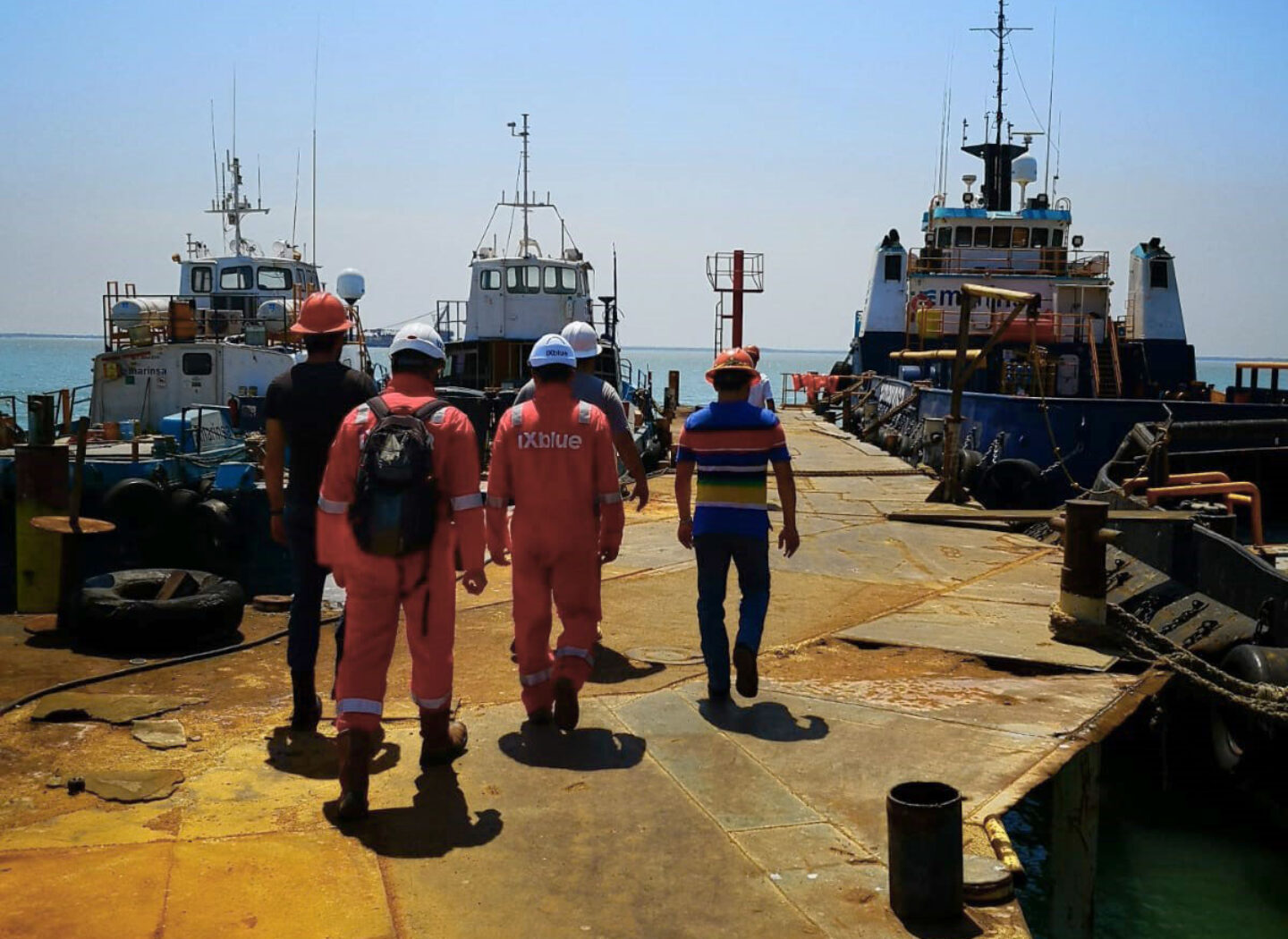
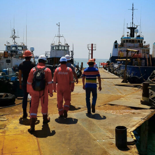
Dedicated support experts at your service
Globally recognized for their readiness and proficiency, our teams of support experts are trained on all iXblue products. From integration, to training and assistance, our teams are available around the clock every day of the year to ensure you get the most out of your subsea positioning solutions.
Related ressources
-
 Ended on 29 Aug 2020
- Maritime
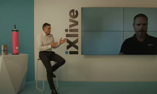
Sparse LBL: How to enhance subsea positioning performance
discover how sparse LBL can make a difference to your subsea operations.Watch replay -
Ended on 9 Apr 2020
- Maritime
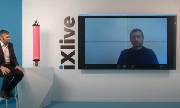
Delph Subsea Positioning, innovative Software Suite improving efficiency for subsea operations
Discover all about Delph Subsea Positioning, an intuitive and dynamic software which simplifies the planning, simulation, operation and post-processing of subsea positioning tasks.Watch replay -
Ended on 7 Apr 2020
- Maritime
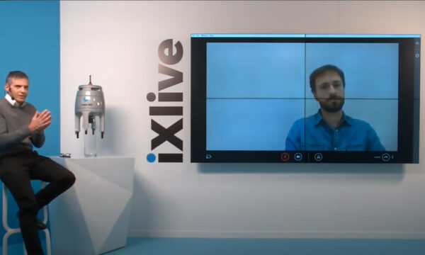
Gaps M5: new cost-effective and export free USBL system
Paul Urvoas, our product manager, tells you all you need to know about the new Gaps M5 USBL system.Watch replay -
Ended on 22 Jun 2020
- Defense
- Industry
- Maritime
How to select the right INS?
Learn everything you need to know to select the right INS.Watch replay -
- Maritime
Ocean Business 2017 Special Edition
Learn more -
- Maritime
OI 2018 Special Edition
Learn more -
- Maritime
OI 2020 Special Edition
Learn more