Inertial Navigation for Surface Operations

Quadrans, Octans, Hydrins, Phins

Get more information with

#
Linkedin account

Jean-Michel Hubert

Product Manager
# #

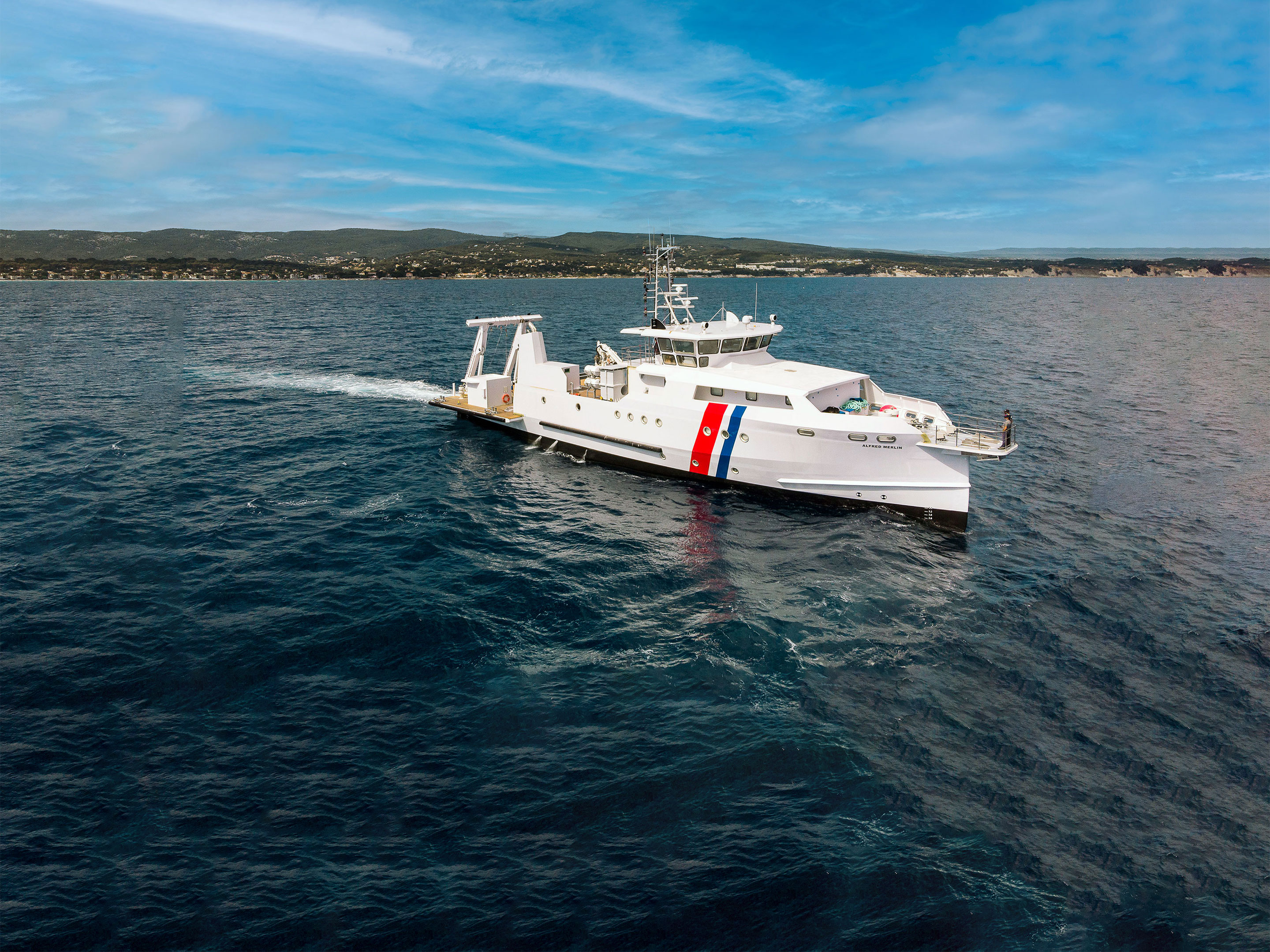
iXblue offers a complete range of Fiber-Optic Gyroscope (FOG)-based Attitude and Heading Reference Systems (AHRS) and Inertial Navigation Systems (INS) dedicated to maritime surface applications. Highly reliable and performant, iXblue systems provide extremely robust navigation information in environments that experience long-term GNSS outages. For many years now, they’ve been the preferred surface navigation systems for major operations in the challenging offshore and hydrographic industries.

Providing unmatched performance for challenging long-term GNSS denied environments

iXblue Attitude and Heading Reference Systems (AHRS) and Inertial Navigation Systems (INS) offer operators with a complete range of surface navigation systems which performance can be best suited to users’ various operational requirements.

Scalable performance thanks to FOG technology

Mastering the full value chain of the inertial navigation technologies it develops, iXblue designs and manufactures, in-house, every component that are integrated into its systems, from its FOG gyroscopes to its own accelerometers, electronics, software and algorithms. This vertical integration allows iXblue to push the limits of its inertial product technology to enhance their performance to the best of their possibilities. By altering the length and diameter of its fibre optic gyroscopes’ coil, iXblue can thus adapt the performance of its navigation systems and have it meet a wide range of performance requirements.

  Quadrans Quadrans Octans E Octans Hydrins Hydrins Phins Phins
Product type AHRS AHRS INS INS
Gyrocompas capability yes Yes yes yes
Typical applications IMO navigation / Platform stabilization / Offshore engineering IMO navigation / High-end platform stabilization / Offshore engineering IMO navigation / Platform stabilization / Dynamic positioning / Survey grade IHO / Seafloor characterization / Offshore engineering IMO navigation / Advanced navigation / Platform stabilization / Dynamic positioning / Survey grade IHO / Seafloor characterization / Offshore engineering
Heading accuracy 0.15° secant latitude RMS 0.05° secant latitude RMS 0.01° secant latitude RMS 0.01° secant latitude RMS
Roll & Pitch accuracy 0.1° RMS 0.01° RMS 0.01° RMS 0.01° RMS
Smart Heave Whichever is greater 5% RMS / 5 cm 5% RMS / 5 cm 2% RMS / 2 cm 2% RMS / 2 cm
Pure inertial drift 0.6 Nm/h
Drift without aiding for 1, 2, 5 min 0.8 m / 3.2 m / 20 m CEP 50 0.8 m / 3.2 m / 20 m CEP 50
IMO / IMO HSC
External sensors GNSS, EM log GNSS, EM log GNSS GNSS, EM log, DVL, USBL, LBL
Postprocessing software option APPS/DELPHINS APPS/DELPHINS
  Ask for quote Ask for quote Ask for quote Ask for quote

Increased performance through aiding sensors

While all iXblue AHRS and INS can run in full autonomy with very limited drift depending on the system specifications, their performance can further be enhanced thanks to their advanced embedded algorithms.
Those algorithms make use of available aiding sensors data (DVL, EM log, GPS, USBL, LBL and depth sensor) to increase accuracy, while also detecting and rejecting uncoherent input values, providing highly robust navigation information.


Delivering unrivaled reliability

A robust inertial technology

Based on the Fiber Optic Gyroscope (FOG) technology, that make use of light spinning in a fiber coil, iXblue navigation systems have no moving parts, making them extremely reliable. As a result, iXblue AHRS and INS are trusted worldwide and have been operated, for the past 20 years, in the most challenging environments such as subsea or long duration space applications, attesting of their high reliability.

iXblue systems have furthermore been qualified to withstand the extremely harsh environments of land defense, with its extreme vibrations, shocks and temperature changes and are now operated by over 60 navies and armies worldwide, testifying of the robustness and reliability of iXblue solutions.

Unmatched MTBF

iXblue core technology is used in all the company’s inertial products and is being operated in a wide range of applications. Our systems benefit from millions of working hours, and from a huge track record. The FOG core MTBF (Mean Time Between Failure) technology thus reaches over 500 000 hours, whereas most of iXblue products boast a proven MTBF over 150 000 hours.

Lowest cost of owner ship

While operating inertial sensors is usually expensive due to preventive and curative maintenance, FOG-based sensors such as iXblue’s offer very low cost of ownership due to their high reliability. With a breakeven advantage of less than 5 years, iXblue AHRS and INS, that are used during decades on high-end applications, are highly cost-effective solutions.

Why choose FOG over MEMS?

While MEMS sensors can be the ideal choice for surface operations that are not disrupted by the loss of GNSS signals and that only require short-term navigation capability, FOG-based INS and AHRS will be better suited for applications experiencing long-term GNSS outages. Thanks to their very low bias stability and drift over time, FOG-based sensors have indeed shown their superior accuracy in more challenging navigation environments, when MEMS navigation devices, that cannot find the North without the aid of GNSS, are more limited for those kinds of applications.

Powering easy operations

Easy to Integrate

Multiple output ports and protocols management makes it easy to interface iXblue AHRS and INS to any equipment either over serial or Ethernet. iXblue products are furthermore third-party friendly systems compatible with a wide range of non-iXblue sensors such as DVL, EM log, GNSS or customer’s protocols.

All-in-one devices

All our AHRS/INS are all-in-one devices, which means that they can be used in the same time well as for the IMO navigation, but also as an Motion Reference Unit, or for dynamic platform positioning. End users do not require several units, for instance a unit dedicated to the gyrocompass for IMO navigation and another one for ship survey mission.

A user-friendly interface

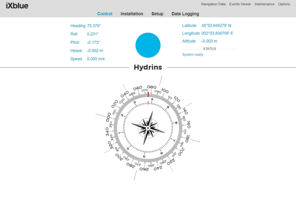
All iXblue inertial devices are based on a web interface to be easy to operate and makes it user friendly. This web MMI has the same look and feel for all iXblue products which simplifies the handling by the user.

ITAR-free for worldwide operations

iXblue AHRS and INS do not include any component subjected to the ITAR regulation. They are ITAR-free solutions that can be shipped and used on any of your global surface applications.

A powerful post-processing software

iXblue offers a full post-processing software and batch productivity tool for all the iXblue INS products dedicated to airborne, land and hydrography applications. Compliant with any GNSS receiver available on the market, it offers powerful data management, visualization and advanced processing functions that make this tool essential for quick and precise trajectory computation. It further benefits from smart coupling technique between iXblue inertial algorithm and the GNSS postprocessing engine.

A strong track record in multiple applications

Offshore marine engineering


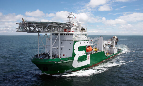
For most Offshore marine engineering applications, a reliable measurement sensor is a key component. For dynamic positioning, while a ship is in operation near a platform, reliability is not an option. While the ship is close to a platform, a GNSS outage could cause severe damages including injuries. Thanks to iXblue support team we have made successful projects from trial to industrial sea applications.

Hydrography

Hydrography surveyors wants survey grade IHO results. With the use of Hydrins, we are able to outperform this IHO requirement. The heave accuracy is only 2cm or 2% using the smart delayed heave.

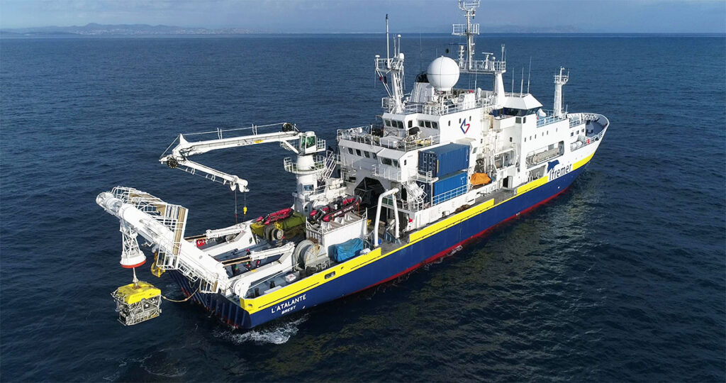
Lesbats Stephane (2018) – The Victor 6000 ROV being deployed from the Atalante – Ifremer

Downloads

Quadrans – Datasheet

(931 KB)
Download

Phins – Datasheet

(233 KB)
Download

Octans – Datasheet

(242 KB)
Download

Hydrins – Datasheet

(193 KB)
Download
Download all files