Subsea Positioning Software
Delph Subsea Positioning
Get more information with
Linkedin account
Viktor Stark
Product Manager

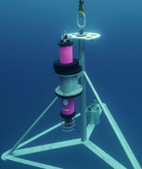
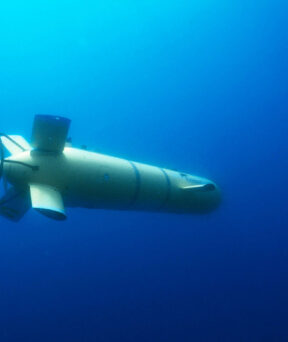
Delph Subsea Positioning is an intuitive and dynamic software package used to plan, operate and post-process iXblue subsea positioning products. Integrating the full range of iXblue subsea systems, Delph Subsea Positioning (Delph SP) simplifies the planning, simulation, operation and post-processing of subsea positioning tasks. Comprising three intuitive and user-friendly core modules, Delph SP is an easy-to-use yet powerful tool enabling even the most complex subsea operations by making each step of the subsea positioning operation simpler, error-free and faster, saving vessel and man time.
Watch our dedicated iXlive webinars
-
 Ended on 9 Apr 2020
- Maritime
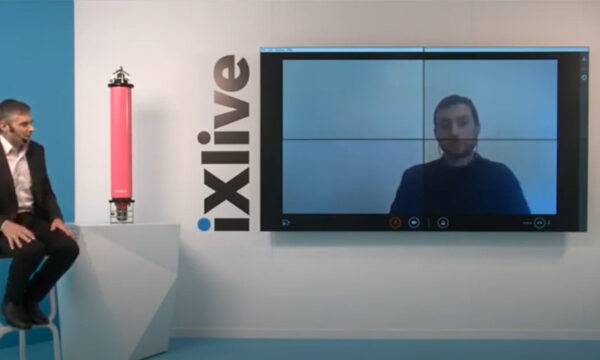
Delph Subsea Positioning, innovative Software Suite improving efficiency for subsea operations
Discover all about Delph Subsea Positioning, an intuitive and dynamic software which simplifies the planning, simulation, operation and post-processing of subsea positioning tasks.Watch replay -
Ended on 29 Aug 2020
- Maritime
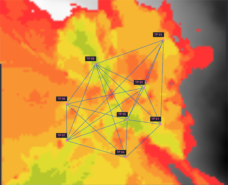
Sparse LBL: How to enhance subsea positioning performance
discover how sparse LBL can make a difference to your subsea operations.Watch replay