Delph RoadMap
2D/3D cartographic display for geophysical and positioning data
On demand
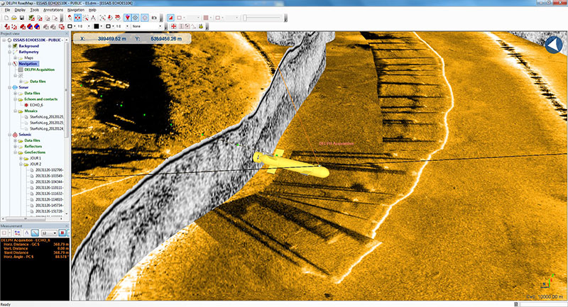
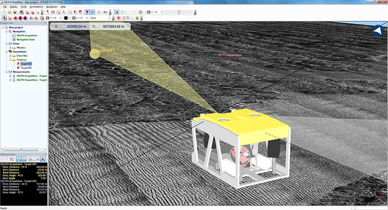
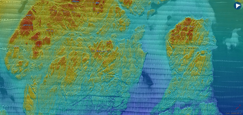
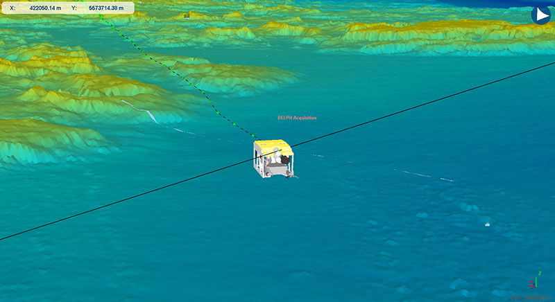
Delph RoadMap software is a 2D/3D cartographic display for geophysical and positioning data.
In real-time, Delph RoadMap interfaces most of iXblue sensors (USBL, LBL, INS, GNSS) that display in 2D/3D with external cartographic layers (coastal contours, bathymetry, etc.). Real-time measurement between mobiles and fixed features can be observed. Data telegrams can be logged for further replay.
Offline, Delph RoadMap allows opening data logs for reviewing the mobile trajectories on a time scale.
Available on backorder
Do you need a quick quotation ? Add products to your cart and send your request.


