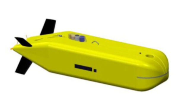
Synthetic Aperture and Mapping Sonars
Get more information with

Bertrand Chemisky


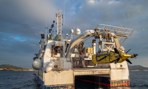
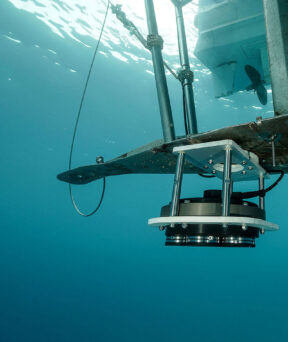
Exail’s Sams Series are next generation Synthetic Aperture Sonars (SAS) that offer both unrivaled range and resolution for subsea imagery operations in the most demanding conditions. Embedding their own positioning and navigation capabilities in addition to real-time SAS processing, the Sams Series SAS sonars provides optimal imaging performance in terms of swath, resolution, image quality, coverage rate and absolute pixel positioning accuracy.

High-resolution interferometric bathymetry
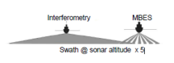
Exail’s new-generation Sams Series sonars offers the ability to produce high-resolution bathymetric data using interferometry.
The in-house developed processing algorithms guarantee robust bathymetric data production in all conditions over the entire swath. This translates into improved data productivity compared with an onboard multibeam echosounder by up to a factor of 5.
-

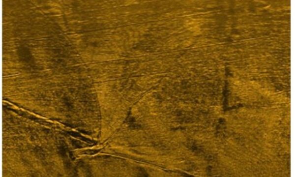
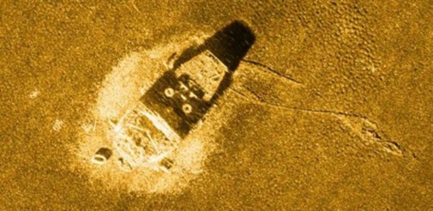
Wreck “Le Corse” in the bay of La Ciotat – Depth 80m – Range 150m
-

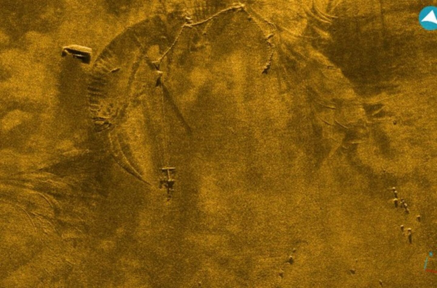
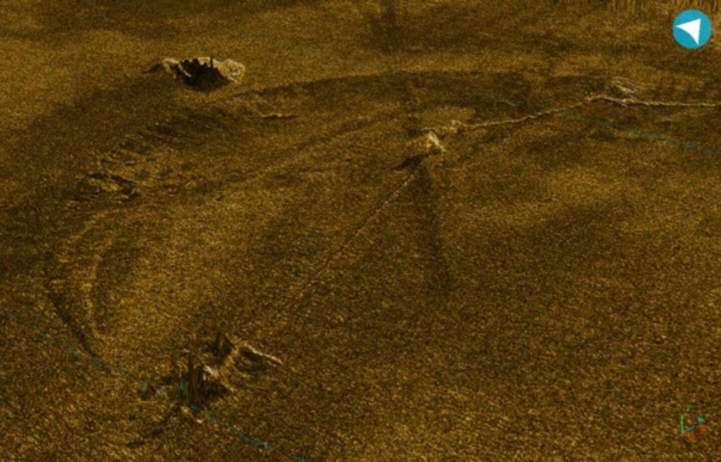
Anchors – 250m range Imaging and 3D fusion representation
-

Anchors – 250m range Imaging and 3D fusion representation
Key Features
| Sams 50 | Sams 150 | |
|---|---|---|
| Central Frequency (kHz) | 55 | 150 |
| Bandwidth (kHz) | 15 | 30 |
| Swath (m) | 1600 | 500 |
| Along-track/Across-track resolution | ||
| Rx antenna length (m) | 2.82 | 0.6 (Compact) | 1.2 (Standard) | 1.8 (High speed) |
| Maximum speed (SAS mode) (knts) | 2.5 | 1.2 (Compact) | 2.9 (Standard) | 4.5 (High speed) |
| Depth | 6000m | 2 versions: 1000m and 6000m |
| Built-in interferometric bathymetry | In option | Included |
| Integration | Towfish/OEM version available for AUVs/ROVs | Towfish/OEM version available for AUVs/ROVs |
| Datasheet | Datasheet |
Downloads
Download all filesNews & Customers stories
-
 18 Jan 2022
- Maritime
iXblue delivers the synthetic aperture sonar dedicated to Ifremer’s new 6000m-rated AUV
Ifremer, the French Research Institute for Ocean Science, has received its new synthetic aperture sonar (SAS) from iXblue. It will equip the institute’s new 6000m-rated…Learn more -
17 Jul 2020
- Maritime
Ifremer chooses iXblue’s technology to equip its new 6000-meter AUV
Learn more -
4 Aug 2017
- Maritime
iXblue releases next generation Synthetic Aperture Sonar
iXblue is releasing the next generation of Synthetic Aperture Sonar combined with the processing capability of the Delph SAS software (real time waterfall & mosaicking)Learn more