Remote hydrography services

Get more information with

#
Linkedin account

Olivier Moisan

DriX Operations Manager

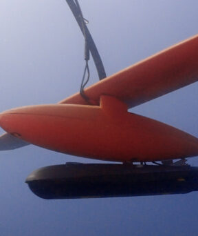
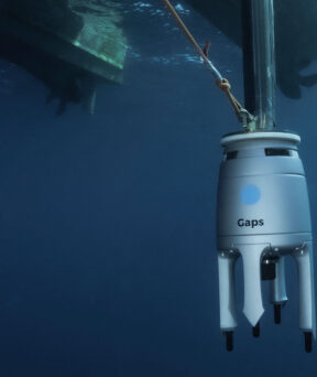
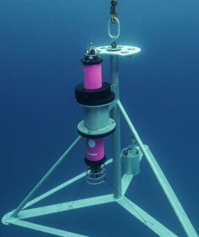
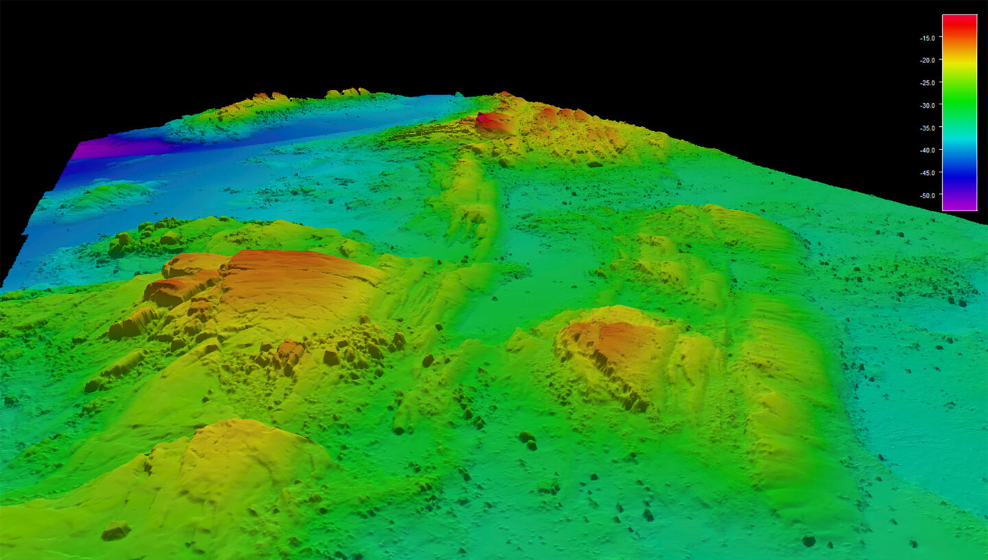
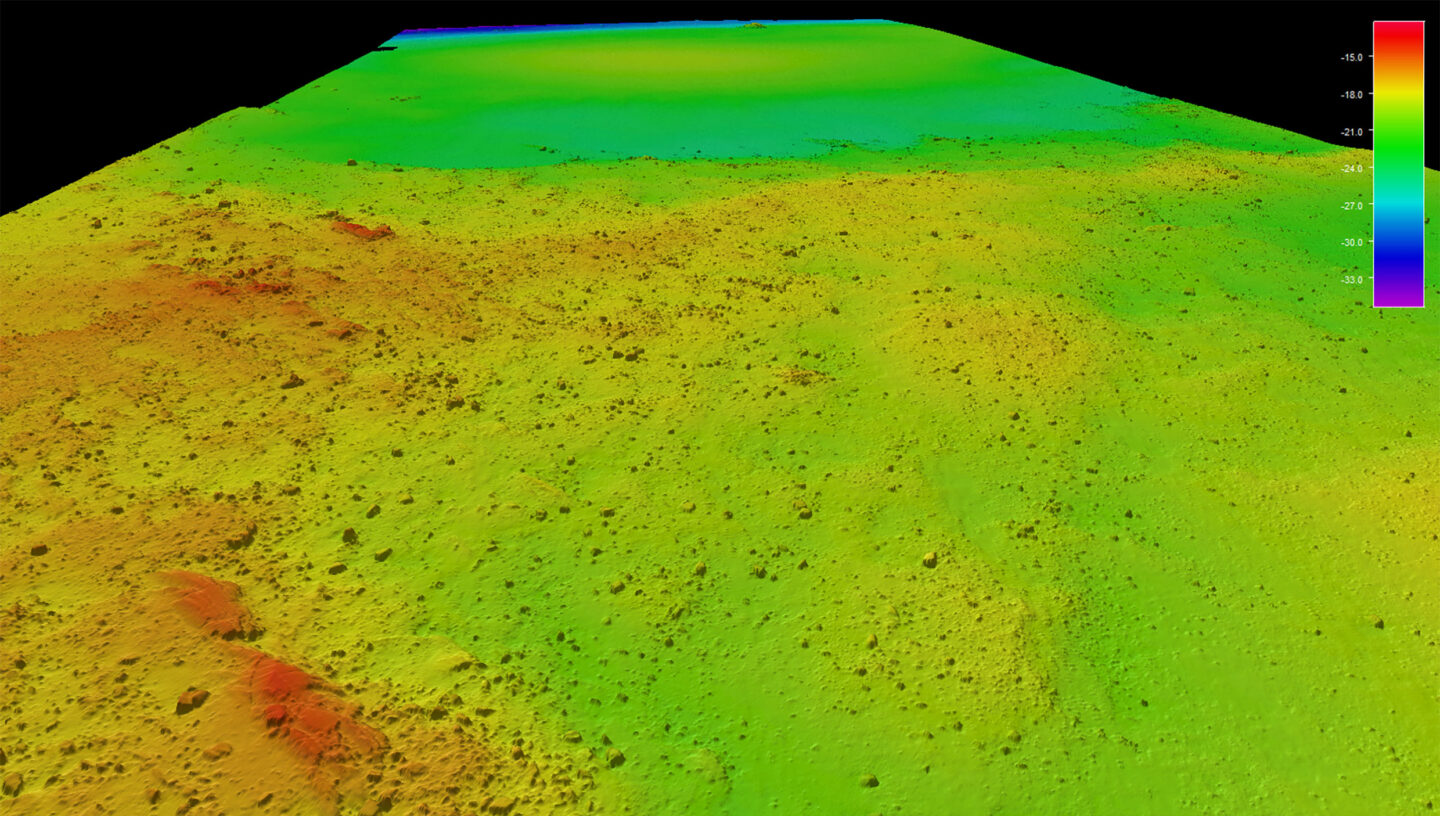
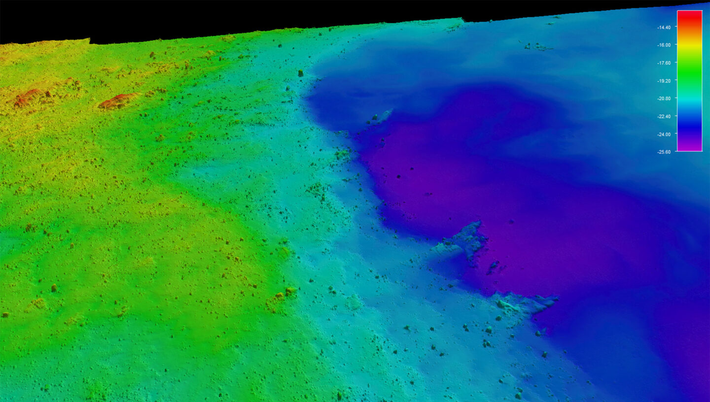
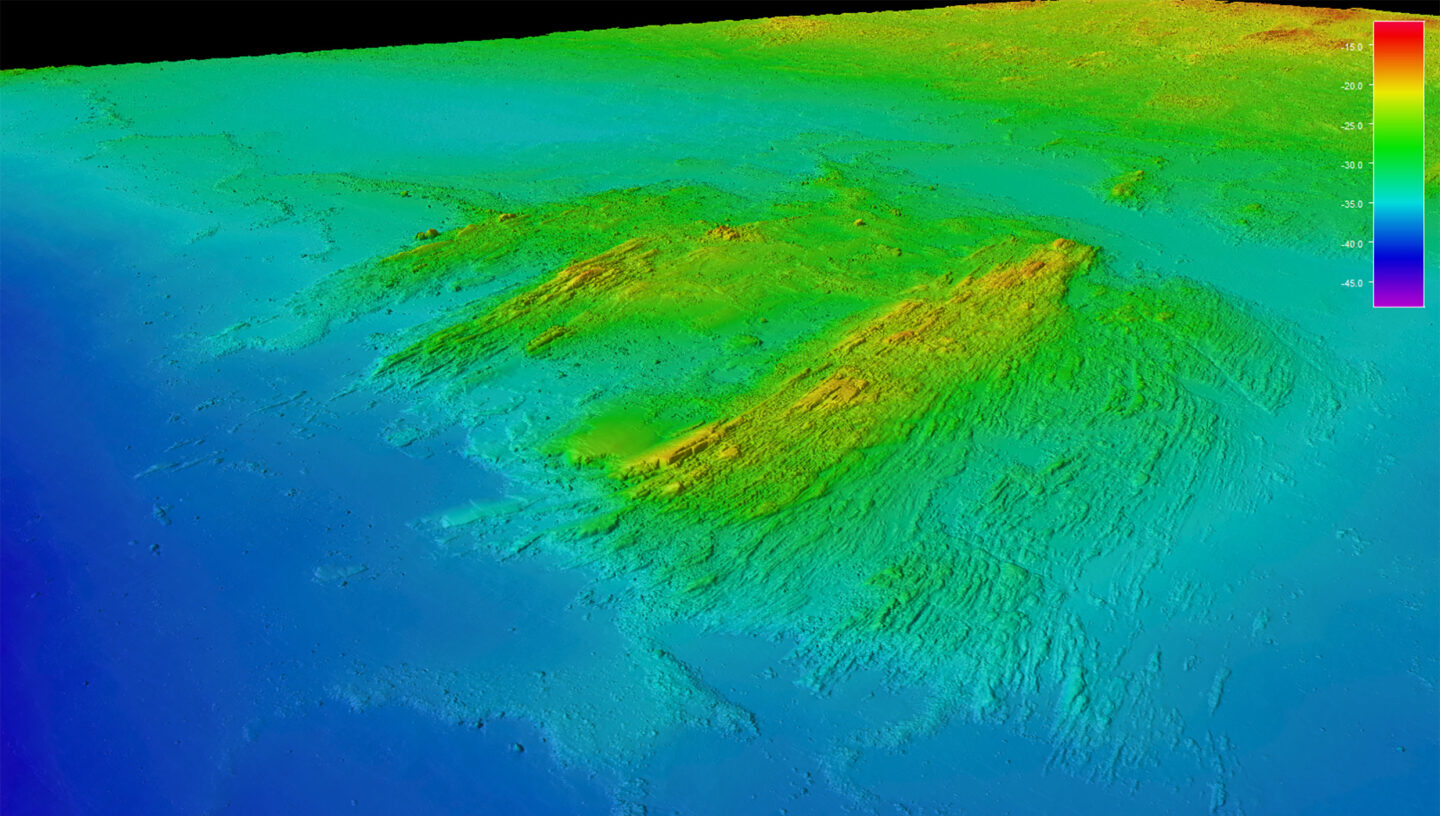
Deploying a fleet of leading-edge autonomous survey technologies, including its DriX Uncrewed Surface Vehicles (USV) and accompanying autonomous ecosystem, as well as state-of-the-art acquisition sensors, iXblue provides turnkey survey services to survey service providers, companies and institutes worldwide. From assets mobilization to the interpretation and delivery of the collected data, iXblue teams of expert surveyors and technicians are there every step of the way to help customers in their transition to autonomous operations, force-multiplying data acquisition and optimizing survey productivity, efficiency, sustainability, and safety.

Powering operational efficiency

Transitioning to remote survey operations, iXblue helps companies and institutes worldwide gain in operational efficiency, while supporting the sustainable growth of the oceans.

24/7 operations

Deploying a fleet of DriX USVs, that offer outstanding seakeeping and speed capabilities, iXblue can operate 24/7 while keeping downtime to a minimum, even in severe weather conditions. These seakeeping and speed capabilities further allow iXblue to increase seafloor mapping rate with no compromise on data quality, drastically reducing operational costs.

Force multiplying multi-USV operations

iXblue team of surveyors can deploy multiple DriX USV as an efficient and easy way to optimize your survey efficiency. Multiple DriX can either be fitted with the same sensors and be used on the same survey zone, or they can perform separate missions using different sensors.

Unrivaled data quality

Optimum conditions for high quality data acquisition are offered by the DriX USV, with sensors located 2 meters below the surface, in a highly reduced-noise and bubble-free environment. Combined with the USV outstanding line keeping, and the deployment of state-of-the-art acquisition sensors (MBES, INS, USBL, SBP, velocity probes…), iXblue teams of surveyors can help you collect even higher data quality than with traditional assets.

This high data quality in turns translates into drastically reduced post-processing phases. Past operations using DriX have incidentally shown that data cleaning could be reduced up to 8 times depending on client or mission scope.

Safety

Enabling safe and efficient Over The Horizon (OTH) operations via satellite, broadband radio, or 4G, DriX USV can be remotely operated from onshore control centers, while the data is quality controlled in real-time by iXblue surveyors. As a result, OTH operations do not require any personnel to be sent offshore, guaranteeing their safety.

#

Sustainability

Keeping the environment safe from irreversible impacts and ensuring our oceans sustainability are
key requirements and using iXblue DriX USV for your next operations will help do just that:

  • Low fuel consumption
  • Low greenhouse gas emission
  • Low radiated noise in the water
  • Low operational footprint & removing need for crew transfers

A team of experts

True specialists in autonomous platforms and remote operations, iXblue team of marine and survey engineers, hydrographers, oceanographers and geologists leverage decades of experience in conducting operational surveys within marine environments. They are here to support every single phase of your project:

  • Mission planning
  • Liaison with local authorities and communities
  • Field mobilizations
  • Operations and maintenance
  • Data acquisition and QC
  • Data processing
  • Interpretation and charting

A full operational ecosystem for autonomy

Having developed a complete ecosystem around its DriX USV, iXblue ensures a smooth transition towards remote operations, enabling efficient deployments and successful missions through functional launch and recovery systems, as well as purpose-made towing tools, gondola adaptations and shallow water support tools.

Our services

Hydrographic survey

  • Governmental hydrography
  • Scouting for pre-seismic
  • Access to port, port, channel, fairways, inland waterways
  • Disaster responses

Geophysical survey

  • Cable and pipeline route
  • Site survey
  • Pre-dredging, control and post-dredging
  • UXO

Inspection survey

  • Marine Renewables, Offshore and civil engineering
  • Cable and pipe
  • Port subsea and surface 3D map

Subsea positioning & communication

  • LBL array calibration
  • Underwater positioning
  • AUV positioning, communication relay
  • Communication through iXblue and third-party acoustic modem

Environmental assessment

  • Baseline survey
  • Ecosystem survey and assessment
  • Fish stock assessment

Disaster Response