Accessories
-

-
-
-
-
-
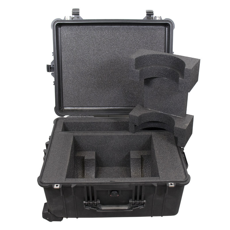
Octans Subsea / Rovins – Flight case
2,080.00€/ unit
Rugged flight case for Octans Subsea (3000) and… -
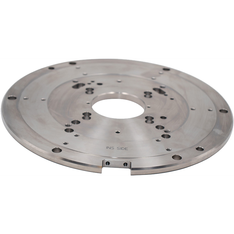
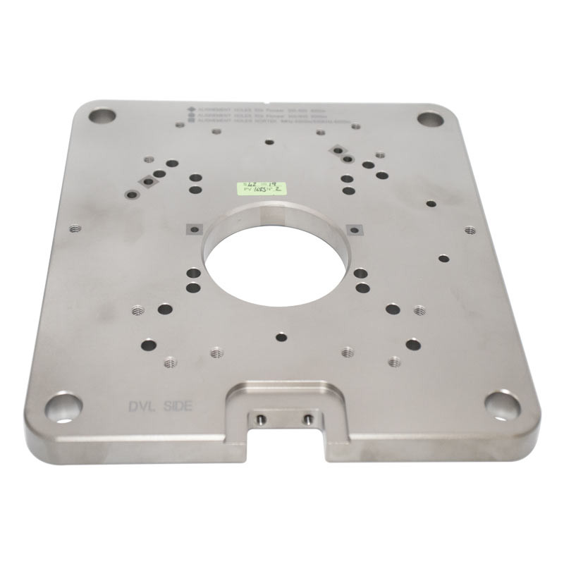
INS/DVL mechanical interface plate – Round
2,552.00€/ unit
Mechanical Interface required for:
– Phins Subsea / Nortek
-… -
-
INS/DVL mechanical interface plate – Square
On demand
Interface plaque required for:
– Rovins Nano / Nortek
-… -
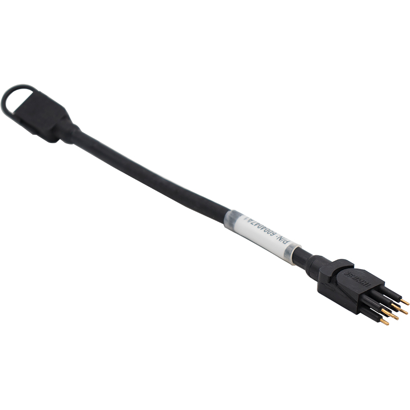
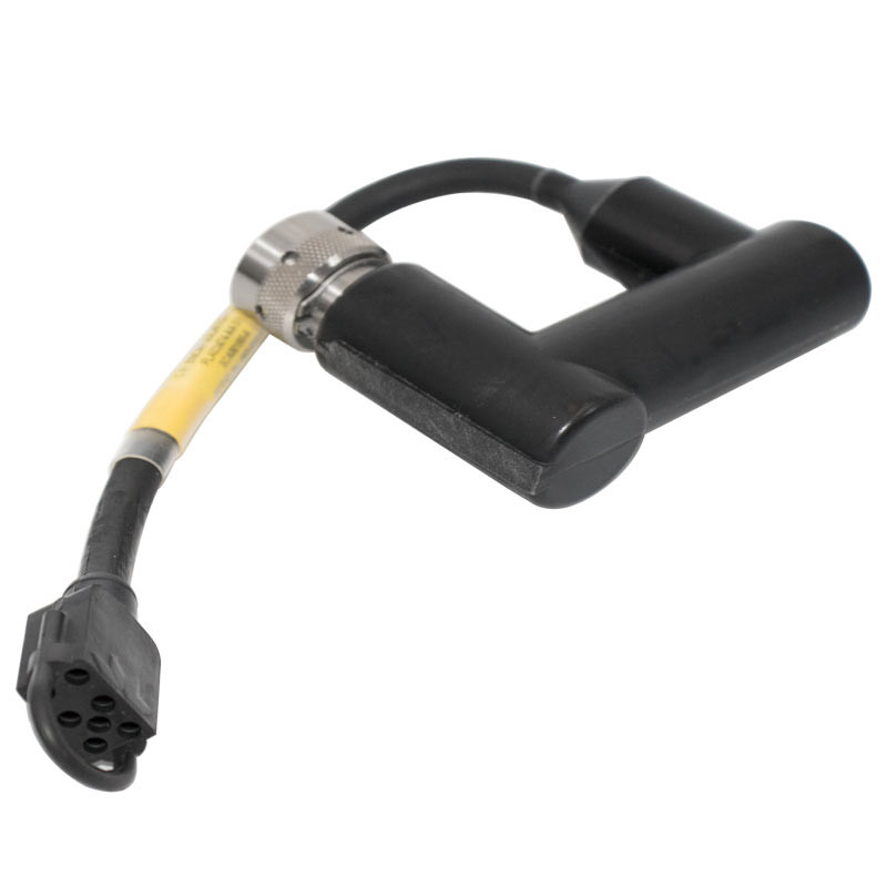
Coupling cable – Rovins-Phins Subsea / RDI Workhorse
0.00€/ unit
Cable – Jumper – Impulse to Impulse -… -
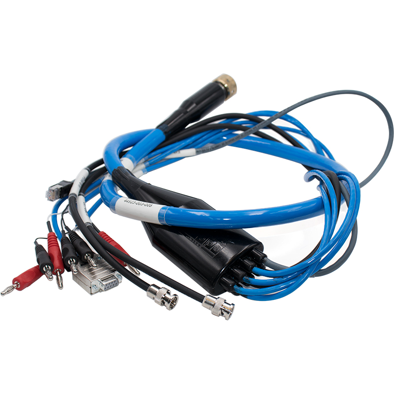
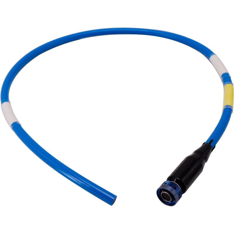
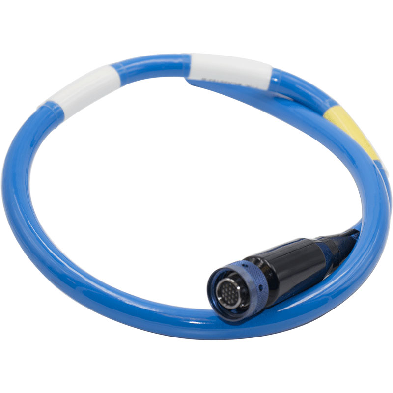
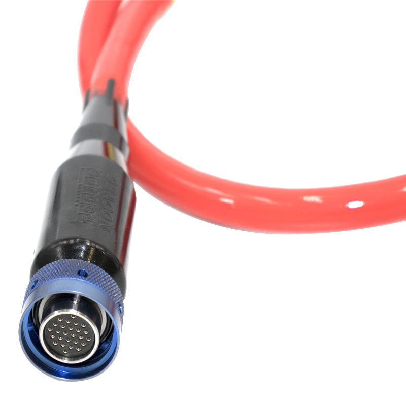
Config Cable – Seacon – 19 pin – Ethernet – 1.5m
4,330.00€/ unit
Test cable – 1.5m – A4 for:
– Octans… -
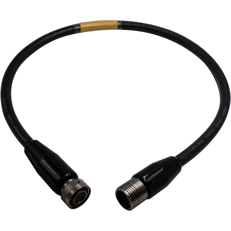
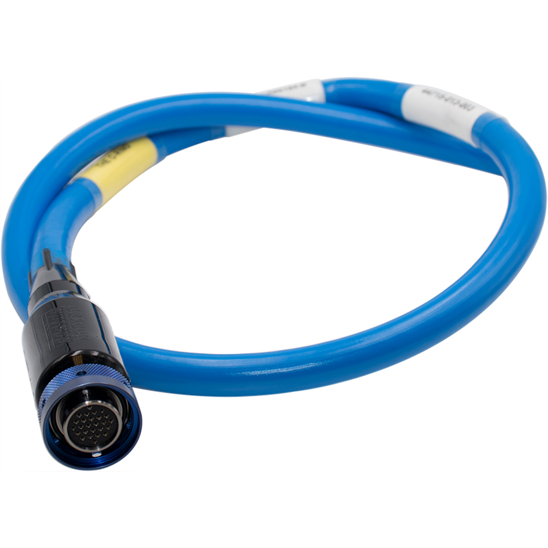
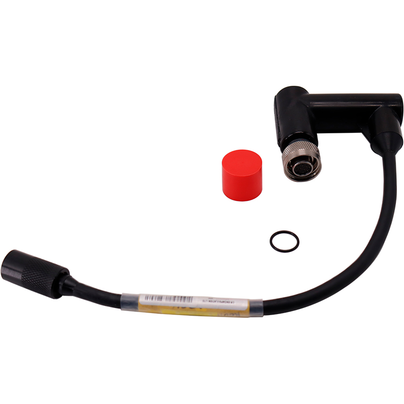
Jumper cable – Seacon 26pin > Burton 13 pin – Octans IV to Octans III
4,470.00€/ unit
Jumper cable – Seacon 26pin to Burton 13pin… -
-
-
-
-
-