Inertial Navigation for Surface Operations
Get more information with

Jean-Michel Hubert
Product Manager
iXblue offers a complete range of Fiber-Optic Gyroscope (FOG)-based Attitude and Heading Reference Systems (AHRS) and Inertial Navigation Systems (INS) dedicated to maritime surface applications. Highly reliable and performant, iXblue systems provide extremely robust navigation information in environments that experience long-term GNSS outages. For many years now, they’ve been the preferred surface navigation systems for major operations in the challenging offshore and hydrographic industries.

|

|

|

|
|
|---|---|---|---|---|
| Product type | AHRS | AHRS | INS | INS |
| Gyrocompas capability | yes | Yes | yes | yes |
| Typical applications | IMO navigation / Platform stabilization / Offshore engineering | IMO navigation / High-end platform stabilization / Offshore engineering | IMO navigation / Platform stabilization / Dynamic positioning / Survey grade IHO / Seafloor characterization / Offshore engineering | IMO navigation / Advanced navigation / Platform stabilization / Dynamic positioning / Survey grade IHO / Seafloor characterization / Offshore engineering |
| Heading accuracy | 0.15° secant latitude RMS | 0.05° secant latitude RMS | 0.01° secant latitude RMS | 0.01° secant latitude RMS |
| Roll & Pitch accuracy | 0.1° RMS | 0.01° RMS | 0.01° RMS | 0.01° RMS |
| Smart Heave Whichever is greater | 5% RMS / 5 cm | 5% RMS / 5 cm | 2% RMS / 2 cm | 2% RMS / 2 cm |
| Pure inertial drift | 0.6 Nm/h | |||
| Drift without aiding for 1, 2, 5 min | 0.8 m / 3.2 m / 20 m CEP 50 | 0.8 m / 3.2 m / 20 m CEP 50 | ||
| IMO / IMO HSC | ||||
| External sensors | GNSS, EM log | GNSS, EM log | GNSS | GNSS, EM log, DVL, USBL, LBL |
| Postprocessing software option | APPS/DELPHINS | APPS/DELPHINS | ||
| Ask for quote | Ask for quote | Ask for quote | Ask for quote |
|
|
|
|
|
|
|---|---|---|---|---|
| Product type | AHRS | AHRS | INS | INS |
| Gyrocompas capability | yes | Yes | yes | yes |
| Typical applications | IMO navigation / Platform stabilization / Offshore engineering | IMO navigation / High-end platform stabilization / Offshore engineering | IMO navigation / Platform stabilization / Dynamic positioning / Survey grade IHO / Seafloor characterization / Offshore engineering | IMO navigation / Advanced navigation / Platform stabilization / Dynamic positioning / Survey grade IHO / Seafloor characterization / Offshore engineering |
| Heading accuracy | 0.15° secant latitude RMS | 0.05° secant latitude RMS | 0.01° secant latitude RMS | 0.01° secant latitude RMS |
| Roll & Pitch accuracy | 0.1° RMS | 0.01° RMS | 0.01° RMS | 0.01° RMS |
| Smart Heave Whichever is greater | 5% RMS / 5 cm | 5% RMS / 5 cm | 2% RMS / 2 cm | 2% RMS / 2 cm |
| Pure inertial drift | 0.6 Nm/h | |||
| Drift without aiding for 1, 2, 5 min | 0.8 m / 3.2 m / 20 m CEP 50 | 0.8 m / 3.2 m / 20 m CEP 50 | ||
| IMO / IMO HSC | ||||
| External sensors | GNSS, EM log | GNSS, EM log | GNSS | GNSS, EM log, DVL, USBL, LBL |
| Postprocessing software option | APPS/DELPHINS | APPS/DELPHINS | ||
| Ask for quote | Ask for quote | Ask for quote | Ask for quote |
Unmatched MTBF
 iXblue core technology is used in all the company’s inertial products and is being operated in a wide range of applications. Our systems benefit from millions of working hours, and from a huge track record. The FOG core MTBF (Mean Time Between Failure) technology thus reaches over 500 000 hours, whereas most of iXblue products boast a proven MTBF over 150 000 hours.
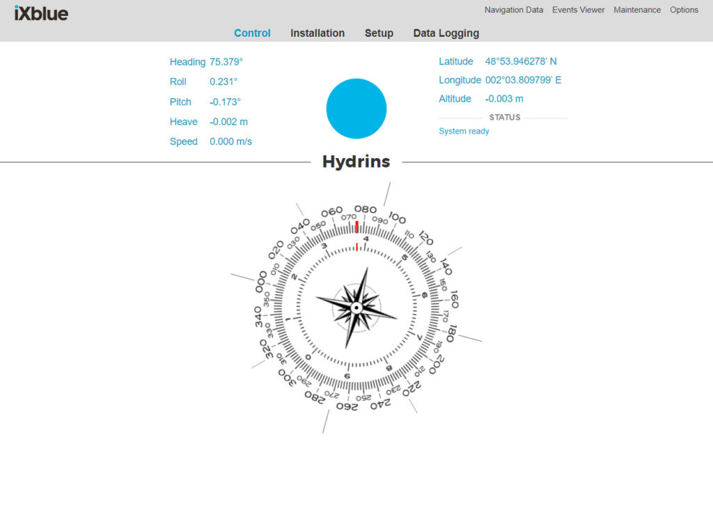
A user-friendly interface
All iXblue inertial devices are based on a web interface to be easy to operate and makes it user friendly. This web MMI has the same look and feel for all iXblue products which simplifies the handling by the user.
A strong track record in multiple applications
Offshore marine engineering
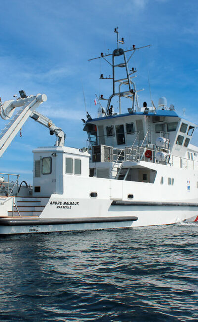
For most Offshore marine engineering applications, a reliable measurement sensor is a key component. For dynamic positioning, while a ship is in operation near a platform, reliability is not an option. While the ship is close to a platform, a GNSS outage could cause severe damages including injuries. Thanks to iXblue support team we have made successful projects from trial to industrial sea applications.

Hydrography
Hydrography surveyors wants survey grade IHO results. With the use of Hydrins, we are able to outperform this IHO requirement. The heave accuracy is only 2cm or 2% using the smart delayed heave.
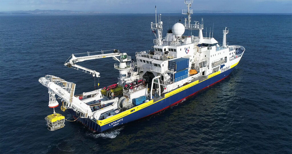
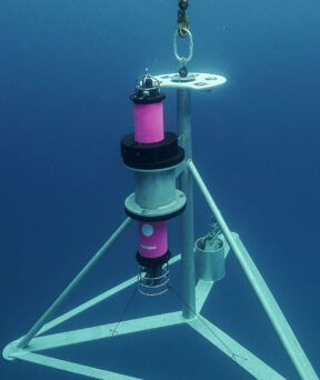
Lesbats Stephane (2018) – The Victor 6000 ROV being deployed from the Atalante – Ifremer
News & Customer Stories
-
 25 Apr 2024
- Maritime
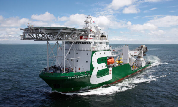
Exail enhances offshore operations with Octans AHRS advanced technology
Exail has secured a contract with Bourbon, a leading French maritime services provider, to supply several units of Exail Octans Attitude and Heading Reference Systems…Learn more -

- Maritime
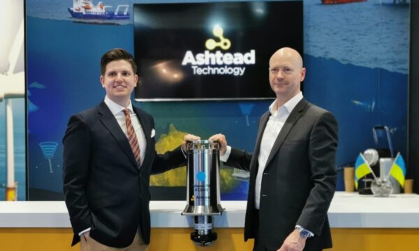
Exail as top choice for underwater equipment rental companies
Exail had record years in 2022 and 2023 in the rental market, securing multiple contracts with rental companies globally. With the objective of providing their…Learn more -
15 Mar 2022
- Maritime
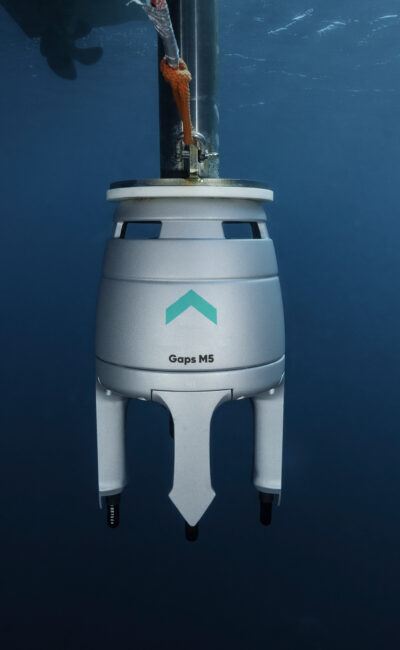
Ashtead Technology strengthens its rental fleet with investment in iXblue technologies
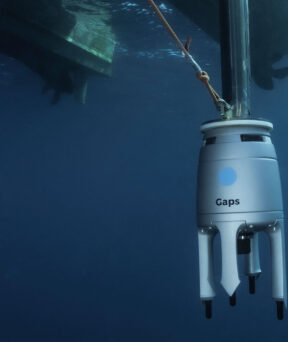
The investment includes the addition of iXblue’s Gaps M5 USBL acoustic positioning systems which are now available to rent throughout the company’s nine international technology…Learn more -
22 Sep 2020
- Maritime
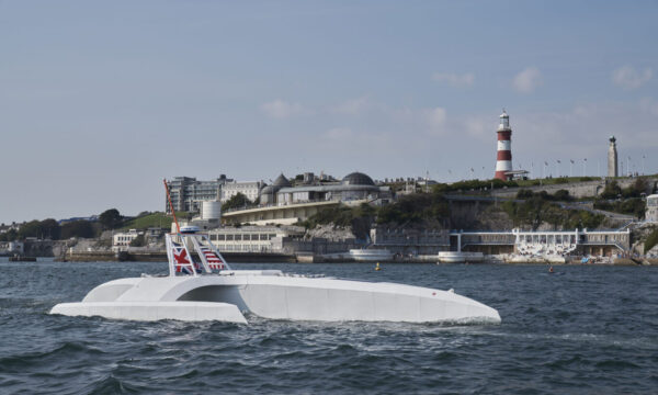
iXblue navigation technology boards the Mayflower Autonomous Ship Project
iXblue navigation technology will provide highly accurate navigation capability to one of the world’s first autonomous ship to cross the Atlantic: the Mayflower Autonomous Ship…Learn more -
16 Oct 2019
- Maritime
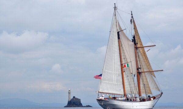
iXblue’s Inertial Navigation Systems on board SEA’s sailing school vessels
Learn more -
- Maritime
On the hunt for the legendary shipwreck, “La Cordelière”
Learn more