Software
Services & Trainings

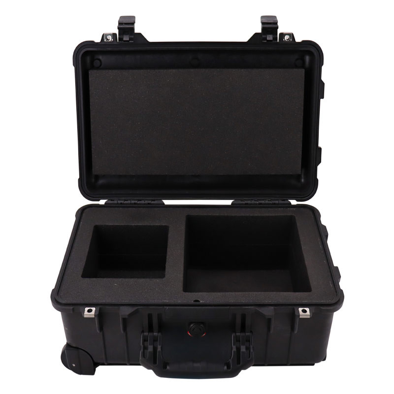
Accessories
-

-
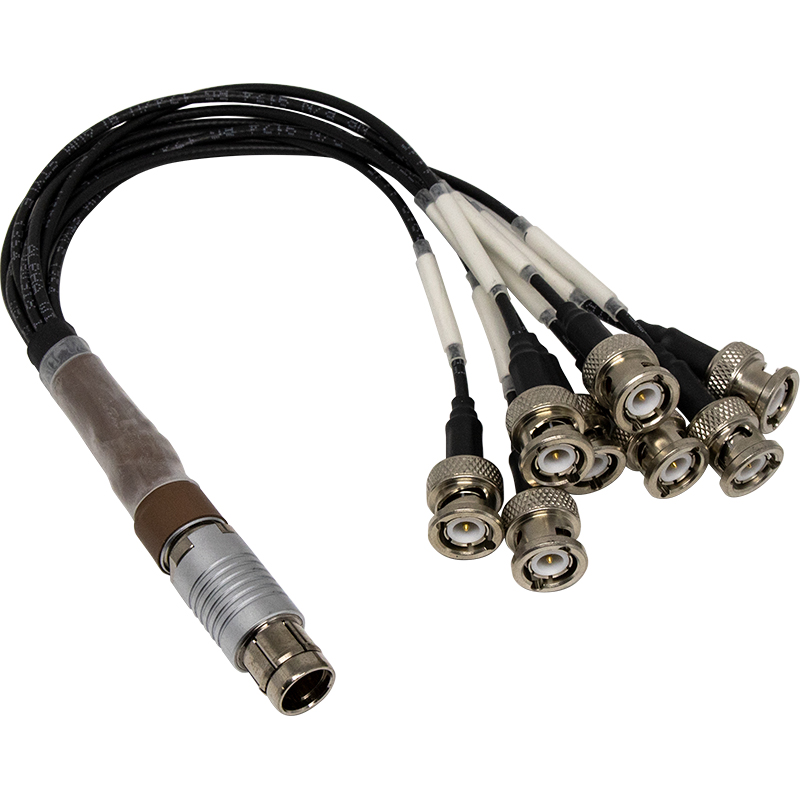
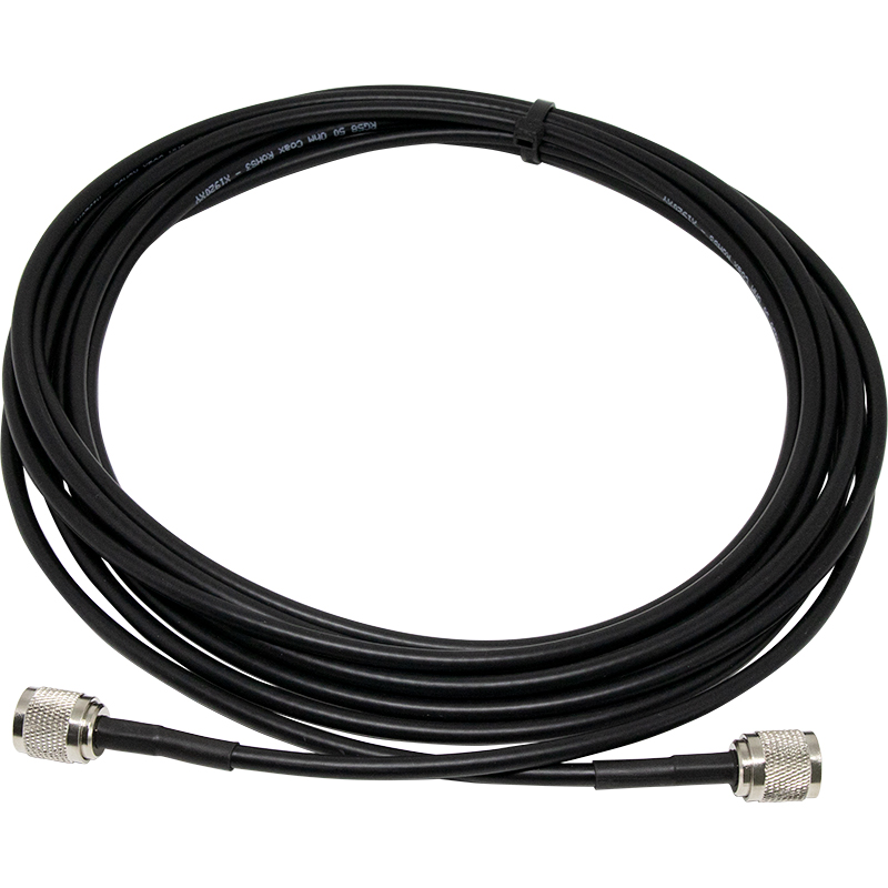
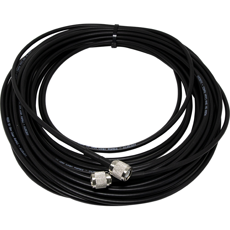
Pulse I/O Interface Cable – Test – Fischer 16 pins to BNC – 0.2 m
710.00€/ unit
Interface Cable Pulse I/O -
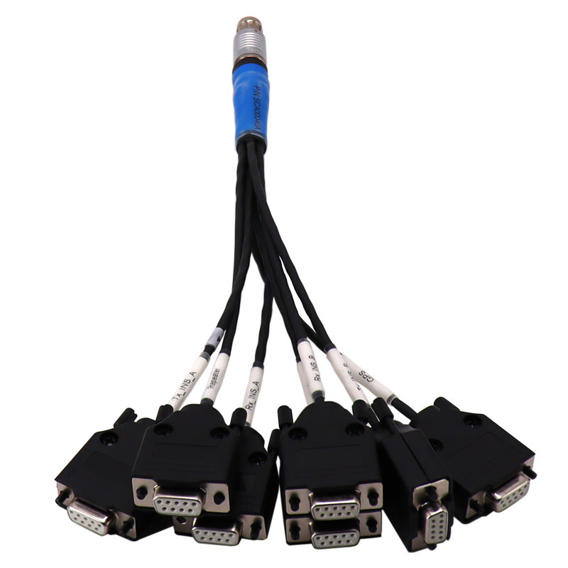
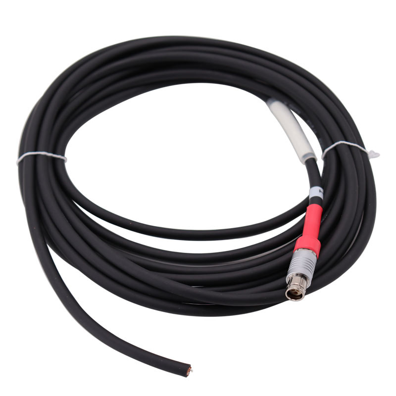
Serial I/O Interface Cable – Test – Fischer 19 pin to 7 SubD – 0,2 m
630.00€/ unit
Required for Quadrans Assembly -
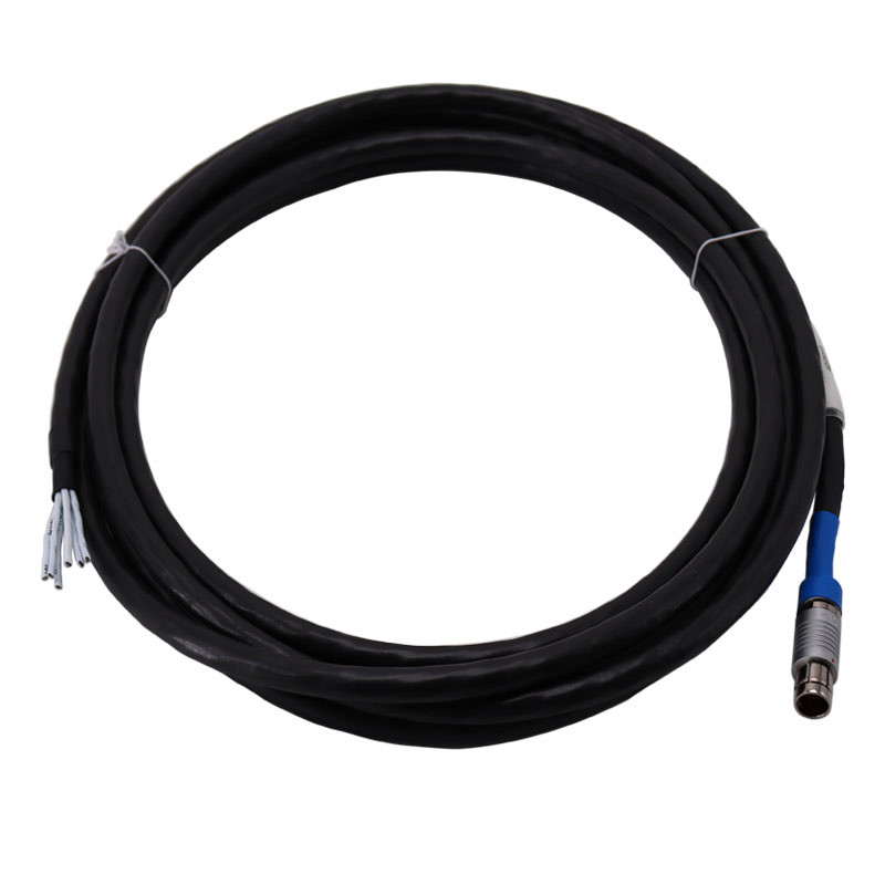
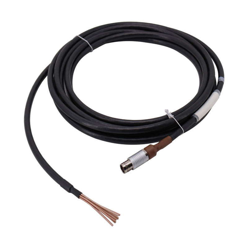
Serial I/O Interface Cable – Pigtail – Fischer 19 pin – 5 m
640.00€/ unit
Required for Quadrans Assembly -
-
-
-
-