Overview
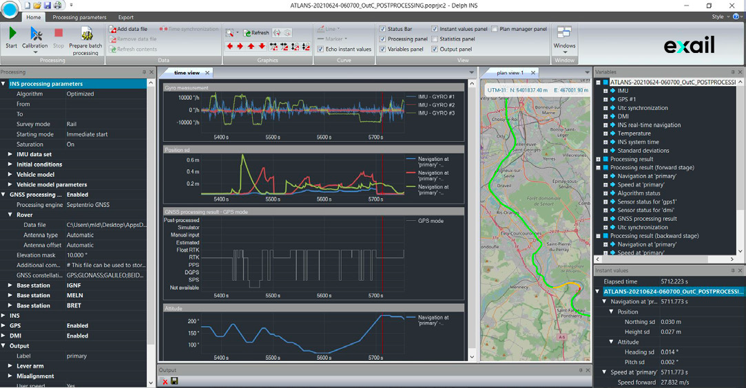
Apps is a post-processing and batch productivity tool for the iXblue survey INS product range: Hydrins, Atlans and Airins.
Powerful data management, as well as visualization, editing and processing features together with data export capability make this tool essential for quick and precise trajectory computation.
Apps incorporates the innovative GNSS/INS post-processing algorithm, named Septentrio iXblue GPS Inertial Link (SIGIL), which results from a collaborative development effort between Septentrio (GNSS receiver manufacturer) and iXblue.
Specifications
Main performances
Survey application | iXblue product | GNSS (raw data) | GNSS (PVT) | DMI | ZUPT | Event Marker |
Hydrography | Hydrins | . | . | . | ||
Land survey | Atlans | . | . | . | CarModel | . |
Airborne | Atlans | . | . | . | ||
Airins | . | . | . | |||
Rail | Atlans | . | . | . | RailModel | . |
Features
- All-in-one INS and GNSS post-processing software, including SIGIL algorithm
- Forward – backward processing technique
- User-friendly MMI for external reference station data selection and import
- Post-processing with customized settings
- Position, speed and attitude computed with reliable standard deviations:
- Selection of output lever arm & misalignment
- At rate up to 200Hz or synchronized on eventmarkers
- Flexible data import / export, for easy integration in processing workflow
- QA/QC report
- Fully automatable to ensure batch productivity
Compatibility
- Main industry LiDAR and image post-processing SW (Riprocess, QINSy, ESRI, …)
- Dedicated post-processing SW thanks to editable output formats
Downloads
Applications

Paris Airport LiDAR mapping (Courtesy of Navya)

20cm resolution X band SAR image (Courtesy of ONERA)