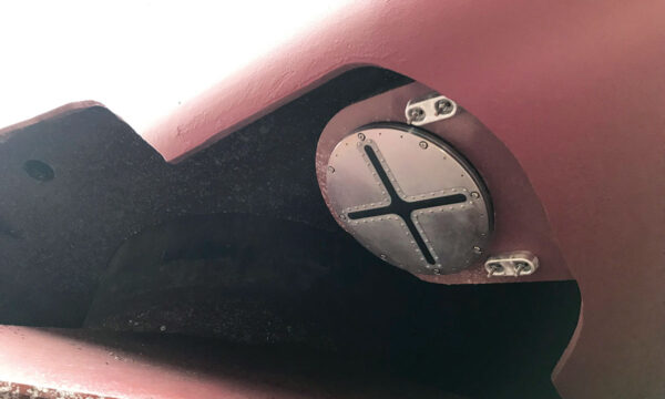
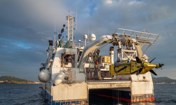
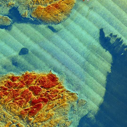
Subsea Imagery
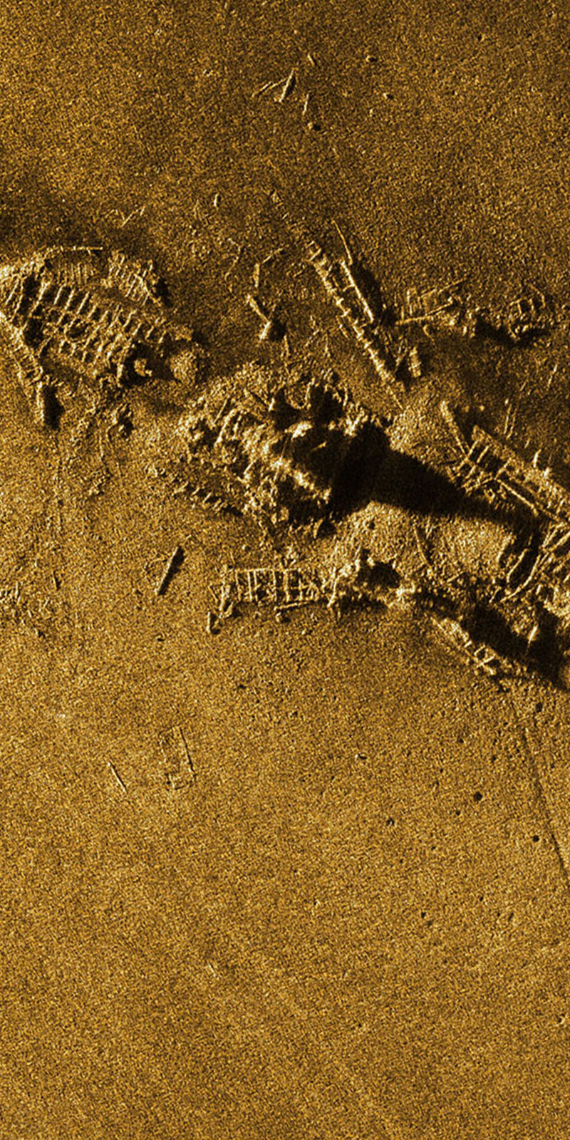
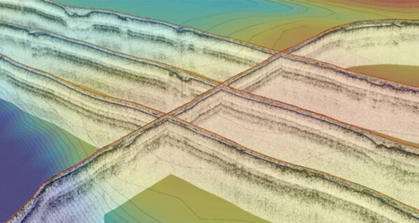
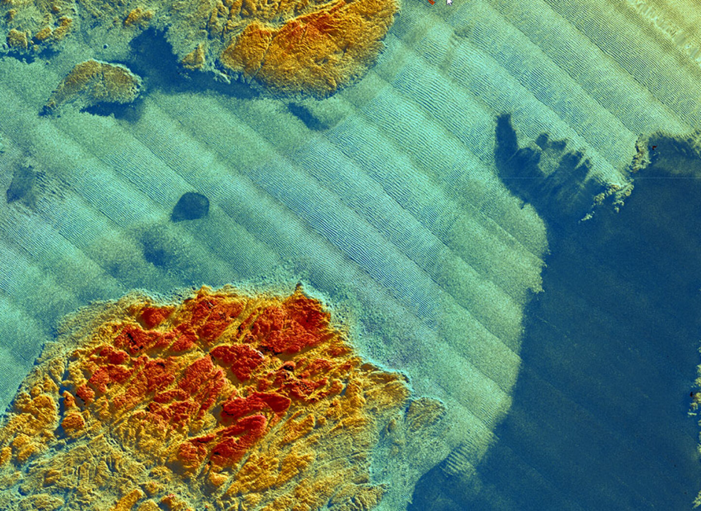
With only 10% of the bottom of the ocean being mapped with a submetric resolution, the oceans seabed is the earth’s last frontier of human knowledge. Map the seafloor, protect marine habitats, monitor deep-sea mining, hunt for wrecks, study underwater geo-hazards are as many challenges for the years to come.
To help all major players in this field to meet these challenges, iXblue has developed a large range of systems designed to address the full spectrum of subsea imagery applications, from sub-bottom profiling and seabed mapping to water column monitoring.

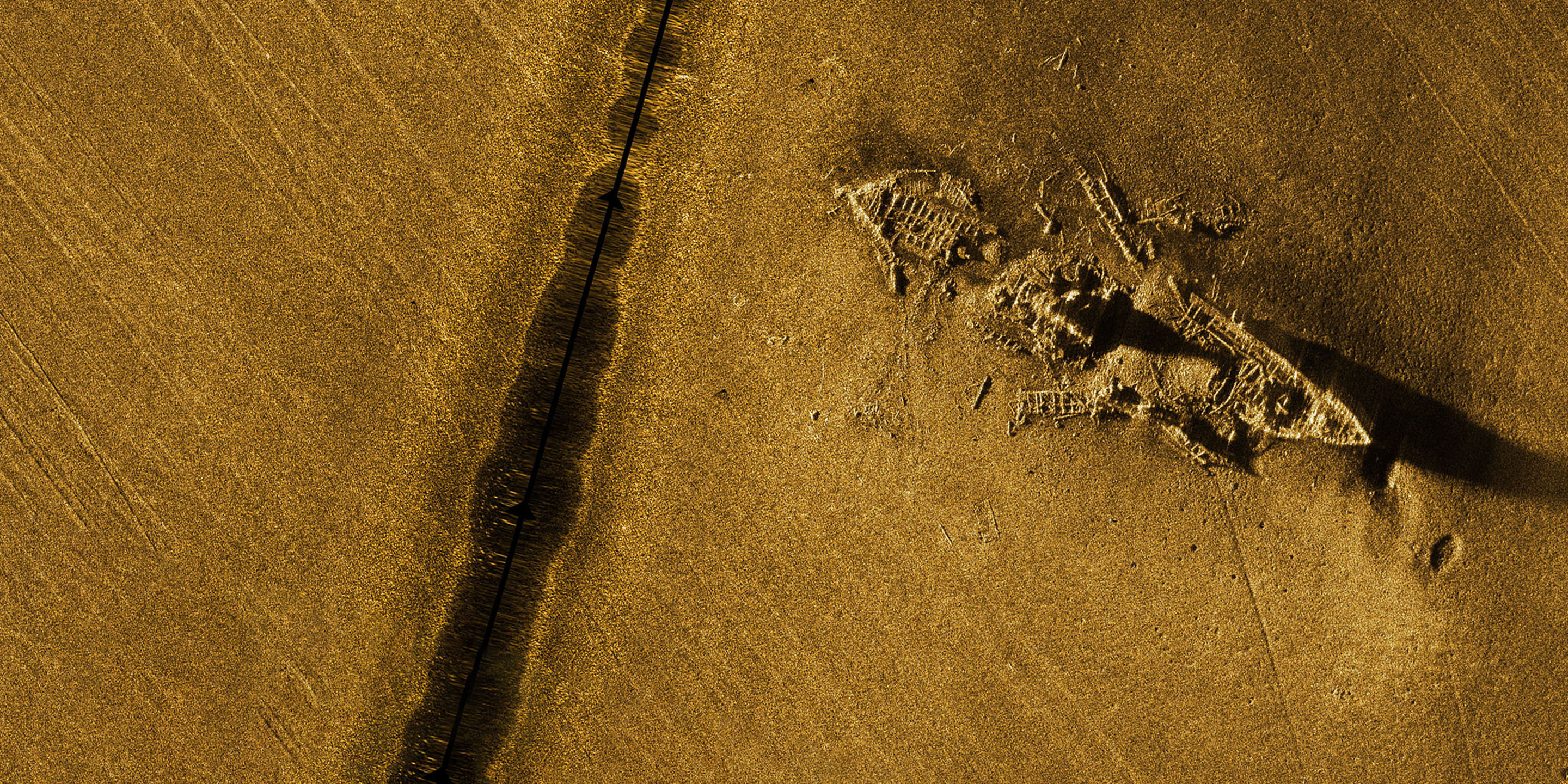
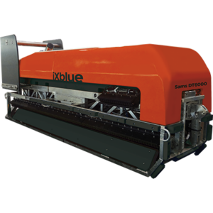
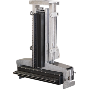
Synthetic Aperture and Mapping Sonars
The Sams Series of Synthetic Aperture and Mapping Sonars offers a unique seabed mapping solution. Based on the interferometric SAS sonar technology, it allows for simultaneous real-time imaging and high-resolution bathymetric mapping of the seabed.
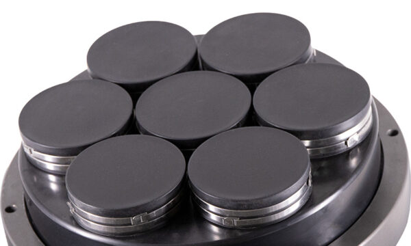
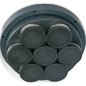
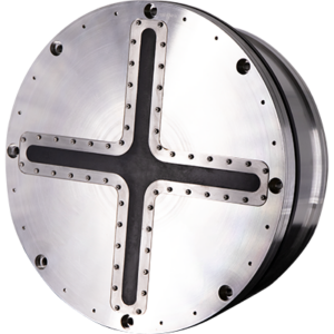
Learn moreSeapiX-R 3D Multibeam Echosounder
SeapiX-R is an advanced 3D Multibeam Echosounder solution that delivers unique capabilities for environmental survey.


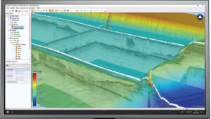


A unique software suite for acquisition & interpretation
Designed in collaboration between key users and iXblue engineers, Delph Geo Software has been used by surveyors and geoscientists around the world for more than 30 years. It has been continuously improved and upgraded to become one of the most complete and efficient Geophysical software suites of the market. Operating with side-scan sonar systems, seismic systems, sub-bottom profilers, magnetometers and gradiometers, Delph Geo software is a complete and modular software solution with dedicated acquisition, processing and interpretation applications. It has been designed to boost survey productivity.
More news and customer stories
-
 11 Mar 2020
- Maritime
iXblue launches real-time static bathymetry sonar for high-precision marine works
Learn more -
24 Sep 2019
- Maritime
New insights for object detection using iXblue Echoes 10 000
iXblue conducts up to 11 km of near-surface geophysical investigation in shallow water environments (< 25 m) in Scotland shorelines using the Echoes 10 000 (10 kHz).Learn more -
18 Jan 2022
- Maritime
iXblue delivers the synthetic aperture sonar dedicated to Ifremer’s new 6000m-rated AUV
Ifremer, the French Research Institute for Ocean Science, has received its new synthetic aperture sonar (SAS) from iXblue. It will equip the institute’s new 6000m-rated…Learn more